
-
Home page
-
Home Page
-
About Union
About Union
History & Culture
Geographical & Economics
Miscellaneous
-
Union Parishad
Union Council
Activities of Union Council
Village Adalat Services
-
Govt. Offices
Agriculture
Helath Service
Social Service
-
Other Institutions
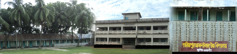
Educational Institutions
Organizations
-
Different Lists
List of Beneficiaries
Other listings
-
Projects
All Projects
kabikha
Kabita
TR
GR
LGSP
LGD
-
Services
UDC
District E-service Center
National E-Service
During the period, Ghagoya Union, a traditional region of Gaibandha Sadar upazila, is on the banks of the river Brahmaputra. During the evolution of time today, Gagua union has its own self-realization in various fields, including education, culture, religious festivals, modernization and digital activities.
How to go: Ghagua Union 10 kilometers away from Paitan Bridge name of Gaibandha sadar upazila. Going from Old Bridge to Auto, Rickshaw, CNG or any other vehicle, Ghagau Union. Rent - Rs 20-30 per person
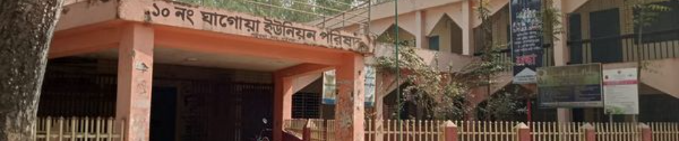
Name and address of Union Parishad
:
Gagua Union Parishad No 10, Gaibandha Sadar, Gaibandha
Volume
:
15.99 (square km)
Population
:
2,6516 people (approx) (according to the 2011 census)
Paragraph number
:
19.
The number of mouches
:
3
Hats / Market Numbers
:
3
Communication medium from the upazila headquarters
:
CNG / Rickshaw
literacy rate
:
72% (According to the 2001 educational survey)
Birth and death registration rates
:
100%
Birth and Death Registration Information on-line entry
:
100%
Government primary school
:
06
Non-governmental Reg
:
04
High School
:
3
Madrasa
:
2
Important Religious Places
:
2
Historical / tourist place
:
1, Mir garden.
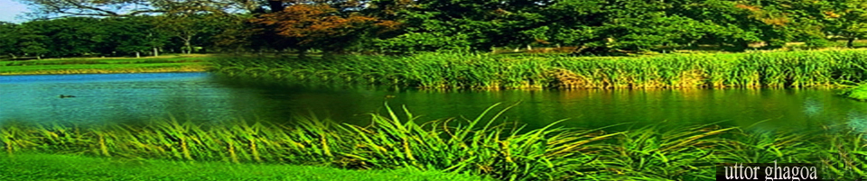
Name of the villages
:
Dariyapur, Mir garden, Yugirghat, Bamunipara, Hindupara, Kumarargari, Mandalpara
Sarakapara, Chengargvita, Madhupur, Fakirpara, Adastagram, Sholagari, Punditpara, Thangamara, Nunu, Katihara, Madrasapara
Madhyapara, Muktarpara, ward no. 8, Konarpara
Manpower of Union Parishad
:
Selected Chairman- 1 person
1) Members of the elected council - 13 people.
2) Union Parishad Secretary - 1
3) Union rural police - 9 people
4) UISC Entrepreneurs - 2 people
Number of Fisheries Co-operatives Association
:
1.
Total number of fishermen
:
208 people
All the time
:
54 people
Part time
:
154 people
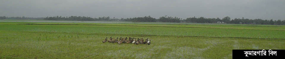
Number of ponds
:
209, area 28 hectares
Total land in union
:
1599 hectares
The total area of the union of the total land
:
1393 hectares.
High land is flood free
:
185 hectares.
Medium high land
:
212 hectares
Middle low land
:
327 hectares.
Lower Land
:
217 hectares
Very low land
:
355 hectares.
Char land
:
57 hectares
One crop land
:
2.00 hectares
Two crop land
:
336.00 hectares
Three crop land
:
792.00 hect
Crop land
:
130.00 hectares
Fruit garden
:
1.00 hectares
Corn
:
44 hectares.
Temporarily fall
:
7.00 hectares
Pond pond
:
28.00 hectares
Crop destruction
:
229.64% hectare.
Total production
:
10,520 Mt.
Total demand
:
11,420 Mt.
Total deficit
:
900 Mt.
The main crops grown in the union are currently cultivated
:
Paddy, jute, wheat, corn, mustard, fruit, potato, vegetables, vegetables, ginger, garlic etc.
Irrigation system of the union
:
The cultivation method mainly depends on rain. However, with the help of deep and shallow tube-well, power pump and other irrigation machines, irrigated by about 1350 hectares of land is cultivated by irrigation. Now the cultivators of Boro paddy, wheat flour, mustard etc. are being assisted with irrigation. Due to the obstruction of the land, crop production has increased considerably. However, to maintain the balance of the environment, it will take steps to increase the use of geo-water as possible and to increase the use of ponds, water bodies and river water.
Union Family Welfare Center
:
01
Community clinic
:
2
Number of working NGOs
:
08
Road (km)
:
260km (approx)
Total paved street length
:
12 kilometers
River-river
:
2, Manas and Ghaghat rivers
Ghagoya river length: 05 kilometers


Planning and Implementation: Cabinet Division, A2I, BCC, DoICT and BASIS
Technical Assistance:
![]()
Developed By:
